13 September, 2017

West End Girls - East 17 Music Video Geolocations & Commentary

In 1992, East 17 released the song 'West End Girls', a cover of the Pet Shop Boys' 1984 song of the same name. The music videos from each of the bands are of some interest; historic, artistic and cultural, capturing various London scenes of the times. I will attempt to geolocate and provide commentary for the East 17 version. The video itself:


The delightfully literal video clip mostly depicts scenes in the West End and East End of London. Fast-moving images of Soho nightlife streetscapes are shown, with a few East End scenes depicted as a counterpoint. Neon signs are a consistent theme. A seemingly incongruous scene of young children (boys and girls) is shown.

A filming date is evident from a scene showing Piccadilly Circus advertising signs: Sunday, 18th April 1993. In the current scene, the neon and incandescent lights have been completely replaced with LED video screens.


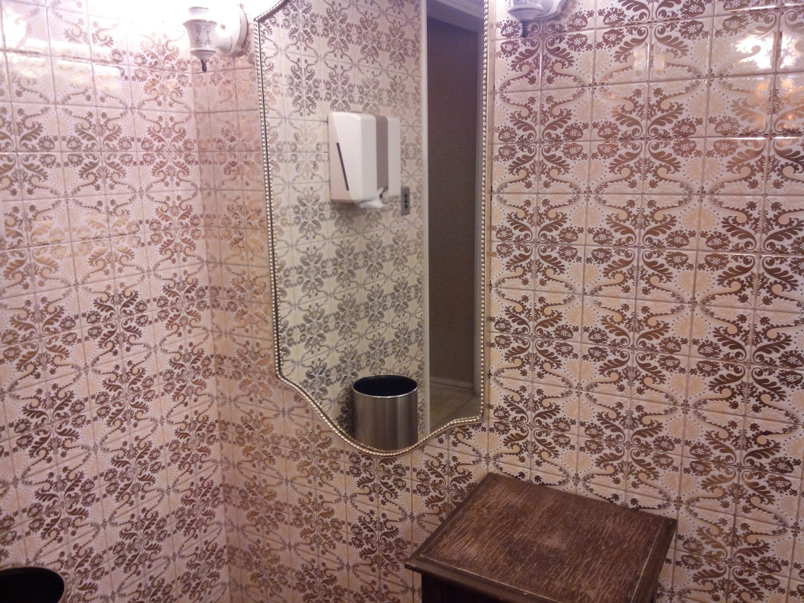
The East 17 boys arrive on the scene, strolling down an alley. (These guys like strolling down alleys; it's what they do). I have been unable to determine the location. The glazed green and brown tiles would be the key clues for future geolocation.


Neon signs of the Las Vegas arcade, Wardour St, Soho.


0:14 Live Striptease neon sign & 0:17 £1 keyhole peepshow neon sign. I'm unsure of the location, but this could be the 'Keyhole Striptease Club' at Old Compton St. The can-can dancer neon sign appears to be at the same location.


Charlie Chester's Casino at Archer St, Soho. This is still a casino, but its signage has been toned down significantly. A nostalgic article has been written about life at the casino.


'Naughty Live Bed Show' neon sign. This was is apparently located at Green's Court, Soho. This sign is in the style of, and was probably made by, prolific Soho neon signmaker Christopher Bracey (of God's Own Junkyard, Walthamstow fame). This part of Soho has undergone some gentrification since 1992; nearby shops today are Cutter & Squidge pastry shop, with Hello Kitty. The 'Erotica' neon sign is on 'Continental Videos', at 28 Peter St Soho, still an adult video shop.


Image source: pinterest


Scenes showing Raymond Revue Bar, Madame Jojo's (site of the famous Bloc Party Incident) and Astral Cinema are located on the corner of Brewer & Rupert Streets in Soho. Raymond Revue Bar and Madame Jojo's are now closed. The Astral Cinema site is now occupied by 'Prowler'.


The animated neon sign of 4 ladies, and the 'Girls Girls Girls' sign were located nearby at the 'Girls Girls Girls' theatre at 24 Brewer St. The sign was an early work of Chris Bracey. By July 2012, this was the site of the spectacularly forlorn 'Sunset Cinemas', and, as of 2017, Chilango Mexican restaurant.

Photograph credit: Mark Mawson/Robert Harding/Rex. Source: The Guardian
Photograph credit: John Angerson/Alamy. Source The Telegraph


1:12 Switching to an East End scene, we have the down-at-heel Allsorts New and Secondhand shop at 242 Morning La, E9. This is now part of a general store and off-licence. A sign for a greasy-spoon east-end cafe is evident at the left, and a gambling shop is not far away.


And finally, some East End neon at Walthamstow Stadium.


20 July, 2015

Return to the Tokyo Prince Hotel 東京プリンスホテルへの帰国

In April-May of 1965, my grandfather, Colin Vectis Gray, stayed at the Tokyo Prince Hotel in Minato. He was on a work tour of Japan as the Chairman of the Australian Shipbuilding Board. He took various photographs in and around the hotel. As part of a superheroic geolocation project, I have attempted to identify and re-create the pictures, The re-enactments were done on 29th May 2014.


Approaching on Hibiya Dori, the hotel is now hidden by trees. The Tokyo Tower sits behind it, and a shrine is still present at left. There has been several changes. The tram tracks are gone, the route having been replaced under the road by the Toei Mita subway line. An entrance to Onarimon station is visible in the newer picture. Onarimon station opened in 1972.
A pedestrian bridge has been built, and the vehicles are somewhat more modern.

Front view of Tokyo Prince Hotel. I didn't get the position quite right, I should have been standing in the carpark, over to the left of that hedge row.

Standing on the main driveway of the hotel, looking back towards the small shrine on Hibiya Dori. The landmark Liu Yuan Chinese Restaurant, whose tower pokes above the small shrine, was demolished in the 1980's and replaced with the Liu Yuan Building. (Thank you Zoe Ward for this information).

Lauren helping me here with the re-enactment at a fountain outside Tokyo Prince Hotel. The location of the original photo baffled me for a long time, but the key clue was the Philips advertising sign at the far right, which I noticed in another picture from the hotel. The sign is gone now. The road has been re-modelled since 1965, consuming the grass triangle at left. At the background-right, the low-rise buildings have been replaced by Shiba Park and Minato Library.

This picture of a city Japanese garden had me flummoxed for a long time. I tried and failed to identify the buildings in the reflections in the glass. The colour and pattern of the bricks, and window style led me to think that the Tokyo Prince Hotel was the most likely spot. I was thrilled to find it when snooping around in the hotel in 2014. My second picture was taken from the restaurant inside -- apologies to the young waiter who told me he'd get in trouble with his boss because I didn't order anything to eat. I just wanted the photo!

View from an upper level of the Tokyo Prince Hotel, looking north-east. The Liu Yuan Chinese Restaurant (centre) has been replaced, and Shiba Park now replaces the low-rise buildings in the foreground. The skyline has risen significantly. The Philips advertising sign is in the first of the 1965 pictures, which was the clue to the earlier fountain picture (see the fountain at the bottom of my newer picture. A diagonal line in the concrete road belies the former grass triangle next to the fountain, see above).

South-east-looking view from an upper level of the hotel. The gate to the nearby Zojoji Temple can be seen to the right. The raised Inner Circular Route (Shuto Expressway) is visible in the original picture, top right. it is concealed by trees now.

A picture of Zojoji Temple from the hotel in 1965 (facing South). A new incarnation of Zojoji Temple is on the site now (see a future blog post). The Inner Circular Route (Shuto Expressway) is visible in the distance. I failed to re-enact this photo.


North-west-looking view from the hotel. All the buildings appear to have changed since 1965. The clearing behind the trees, part of Shiba Park, is still present, It is used for school sports. The light brown building is Shiba Junior and Senior High School, with an artificial turf sports ground.

This is a similar view to the previous one, but looking north. I failed to re-enact this picture. The National Diet (parliament) building is on the horizon. Next time, Gadget.

Environs

Hibiya Dori looking south. Tram tracks are removed, subway train underground.


Hibiya Dori looking north showing the Liu Yuan Chinese Restaurant.

A kindergarten or children's playground, now subdivided into a carpark and religious building. Where do the children play now?
I never held much hope of geolocating this picture but the clue was the big red building in the background, the  Liu Yuan Chinese restaurant.

Bonus Pictures

Hotel lobby.

Bathroom decor.

Stairs down to Lawson and other shops.

Lift area.

Room interiors.

Views to the Tokyo Tower.

 Umbrella racks. It can rain a lot.


I'm not sure if this picture is from the Prince. It might be.

My grandfather's 1965 diary indicating stays at the Tokyo Prince Hotel and travel in Japan. 

Now explore for yourself!


Thank you to Yuuri-chan, a member of the hotel staff for the warm welcome. Thanks to Lauren for patiently coming with me on this jaunt.